
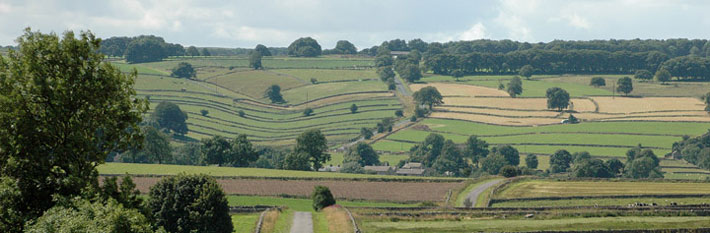
Barker Fields
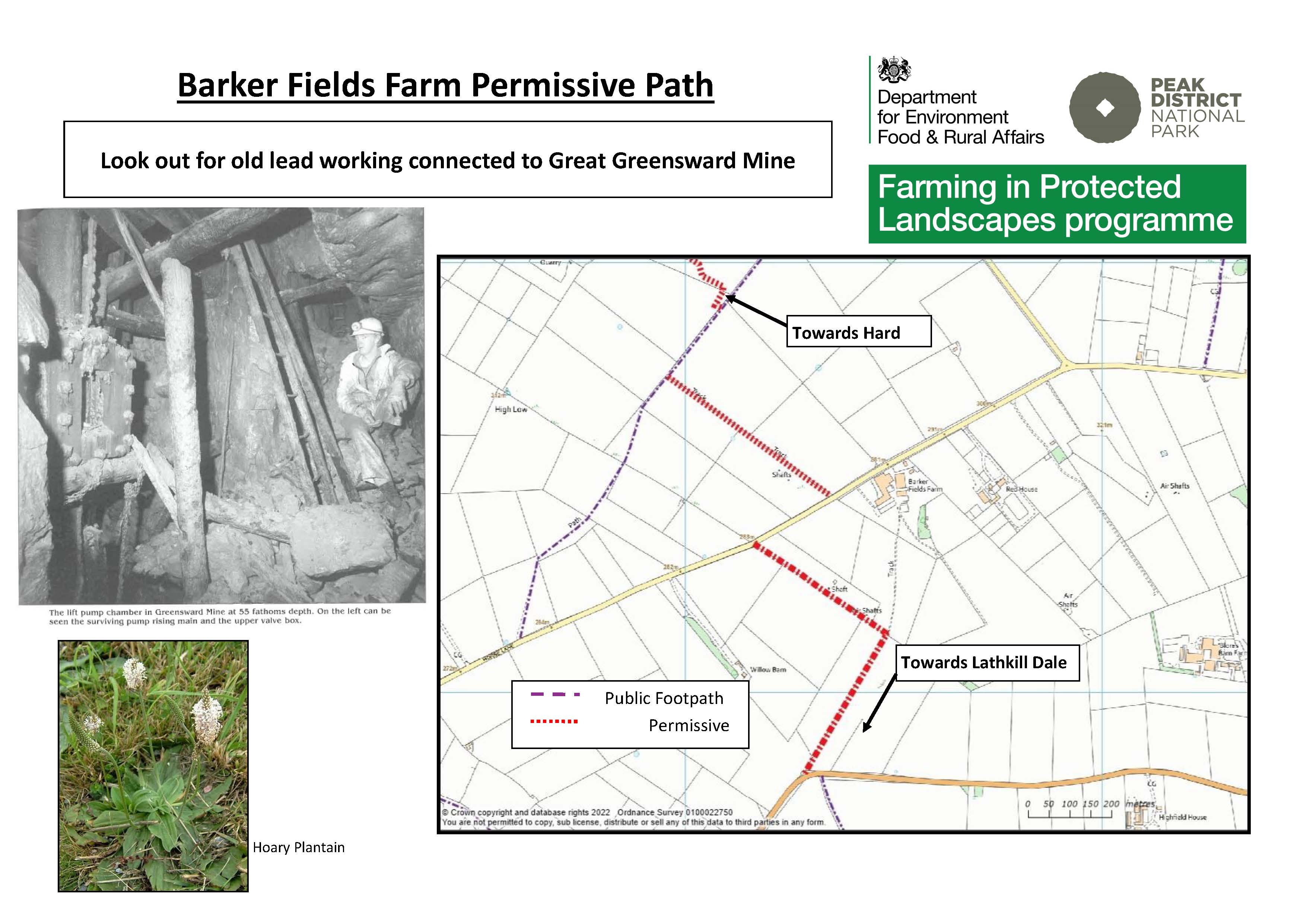
 A path across pastures linking in Ricklow Dale with the permissive path to Hard Rake.
Permissive path – access on foot. Defra funded until March 2024.
Distance 0.7 km of new access
Accessibility 4 pedestrian gates. Grassland.
Nearest Facilities Monyash
Barker Fields permissive path route map
Directions
- At the point where the footpath from Ricklow Dale meets the road head leftwards through the gate
- Keep the wall on your left for 350 m to where it ends
- Turn sharp left though the next gate and through two more gates to the road
- Turn right along the road for 200 m for the permissive path to Hard Rake
Getting there
Start Point via Monyash Road B5055
Parking Monyash
Ordnance Survey grid reference: SK 1629 6682
Postcode: DE45 1JG
What3Words: ///blindfold.moving.darker
Do you know?
- Greensward Mine had a steam engine house for pumping water and winching.
- Blocks of trees in lead mining landscapes were planted to keep out stock.
- The flowers of the silver-haired hoary plantain are scented.