
Brownfield Land Register
We have compiled a Brownfield Land Register (BLR) in accordance with the government’s recent Housing and Planning Act 2016. The BLR identifies suitable brownfield land for housing to contribute towards the government’s commitment to building 90% of all new housing on brownfield land.
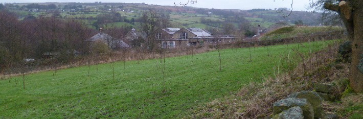
All sites on the BLR must be previously developed land and be in conformity with the NPPF and the PDNPA Local Development Framework. View the criteria set for sites on the register.
What is previously developed land/Brownfield land?
'Land which is or was occupied by a permanent structure, including the curtilage of the developed land (although it should not be assumed that the whole of the curtilage should be developed) and any associated fixed surface infrastructure.’
Sites not considered to be brownfield land include:
- Agriculture and forestry buildings (including horticulture/nursery uses)
- Sites used for mineral extraction
- Landfill sites
- Gardens, parks, recreation land, allotments
- Sites that have been developed but have since blended into the landscape.
The Brownfield Land Register (BLR)
There are two parts to the BLR.
Part One is a list of all known previously developed sites within the PDNP boundary that have the potential for housing development and accord with the criteria set out in the Town and Country Planning (Brownfield Land Register) Regulations 2017.
Part Two is a list of brownfield land sites that have been granted ‘Permission in Principle’.
Permission in Principle is a new, alternative route for gaining planning consent in conjunction with the Brownfield Land Register.
Permission in Principle cannot be granted for:
- Development consisting of the winning and working of minerals
- Development that would fall within Schedule 1 Environmental Impact Assessment development
- Development that is Schedule 2 Environmental Impact Assessment development and has been screened as Environmental Impact Assessment development
- Development that would be prohibited under habitats protection legislation
The following links provide further information about the BLR and Permission in Principle.
- https://www.gov.uk/guidance/brownfield-land-registers
- https://www.gov.uk/guidance/permission-in-principle
Submitting a site for consideration for the Brownfield Land Register
If you would like to suggest a new site for the register, please contact the Policy team.
Please note the local planning authority has the final say on which sites are included on the register.
Brownfield Land Register
Location maps
The individual site plans and link to related planning applications can be seen below.
Former Treatment Works, Low Bradfield
- Site plan: Low Bradfield works (502KB)
- Planning application: https://pam.peakdistrict.gov.uk/09141007
Dove Dairy, Hartington
- Site plan: Hartington works (411KB)
- Planning application: https://pam.peakdistrict.gov.uk/10141045
Markovitz Ltd, Tideswell
- Site plan: Tideswell works (538KB)
- Planning application: https://pam.peakdistrict.gov.uk/01170040
Newburgh Works Netherside, Bradwell
- Site plan: Newburgh works site plan (846KB)
- Planning application: https://pam.peakdistrict.gov.uk/08150779
Former Redmires Water Treatment Works, Long Causeway
- Site plan: Former Redmires Water Treat Works site plan (198KB)
If your site falls outside of the National Park boundary please contact the relevant council.
Interactive map
An interactive map showing locations of registered brownfield sites in the Peak District National Park can be seen below. Click to view full width map of brownfield sites (opens in new tab/window).