Menu
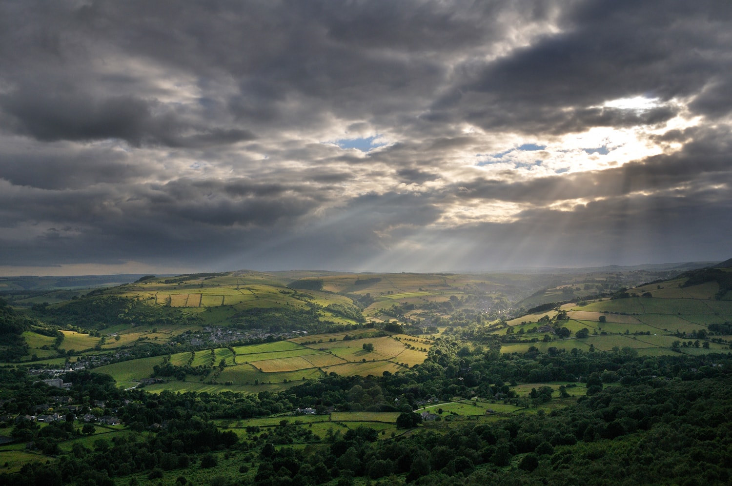
Green fields highlighted by sunrays through heavy clouds from Curbar Edge

Listed Buildings

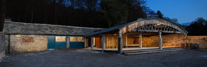
innovative building in the Peak District

Peak District National Park Authority is working with other Local Planning Authorities to shape a more efficient, data-driven planning system.  Supported by the Ministry of Housing, Communities and Local Government (MHCLG), the Open Digital Planning community are united in transforming planning for the benefit of everyone. Maps of all datasets are available at https://www.planning.data.gov.uk/map/

Listed Building datasets were enhanced as part of this funding and are available from this page within our Open Digital Planning section.

For a general introduction to Listed Buildings  see Listed Buildings — Peak District National Park Authority.


Datasets

This dataset can be explored on the Open Dataset Hub Link


Licence and attribution

This dataset has been published by Peak District National Park Authority under the Open Government Licence v3.0. Please acknowledge the information provider with this  attribution statement: © Peak District National Park Authority, 2026, OGL v3.0.

Share this page