
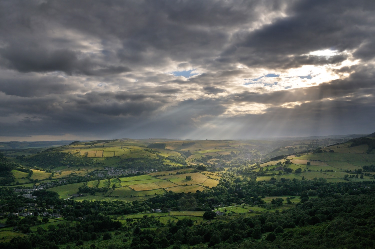
Redmires Conduit
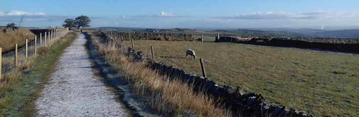
A level route extending from Sheffield’s reservoirs into the moorland fringe on the outskirts of the city.
Access for All
Distance: 800 m to the tower
Nearest Facilities: Sheffield
Directions
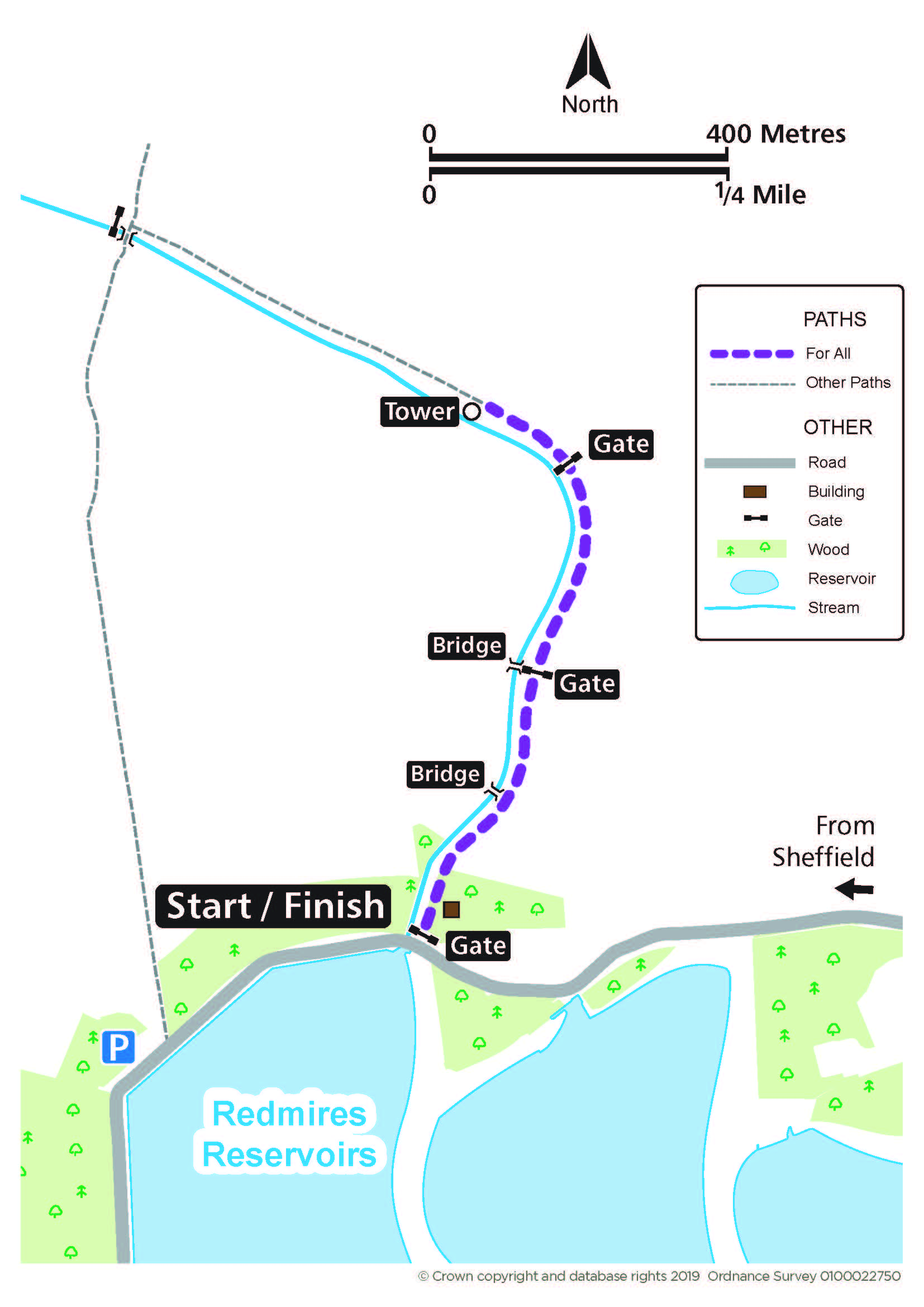
- Pass through the roadside gate opposite the upper reservoir.
- Continue alongside the conduit, through a set of double gates, and then a further gate to the tower.
Redmires Route Map (335KB) 
Getting there
Start opposite Redmires Upper Reservoir, south of the A57 Sheffield.
Ordnance Survey grid reference: SK 2602 8580
Postcode: S10 4QZ
Do you know?
- The surveying tower and reservoirs were constructed following Sheffield’s cholera epidemic in 1832.
- The nearby moors were used as a training area for the Sheffield Pals regiment prior to their departure for the Western Front in the First World War.
- Chubby-faced water voles have made the clean water of the conduit their home