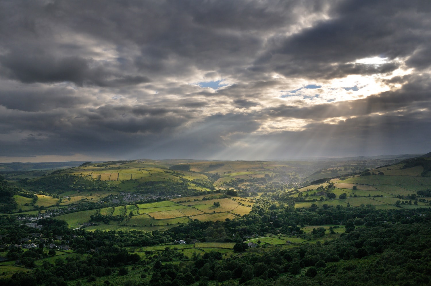
Coombs Dale
Discover a world apart in an area once roamed by highwaymen. Part of the Black Harry Trails

Access for All
Distance: 1.6 km one-way
Nearest Facilities: Stoney Middleton and Calver
Directions
- Head up the track next to the playing fields.
- Continue up the dale to where, after a short climb, it opens out with seating.
Coombs Dale Route Map (306KB) ![]()
Getting there
Start at Stoney Middleton Playing Fields off the A623 near Calver Crossroads.
Ordnance Survey grid reference: SK2356 7506
Postcode: S32 4TB
Do you know?
- In the early 18th century, travellers crossing the lonely moors were attacked and robbed by a highwayman who took the name of Black Harry.
- The first blossom of the year can be seen in the blackthorn which lines the route.
- The limestone is rich in fossils deposited 330 million years ago in shallow, tropical seas when the Peak District was close to the Equator.