
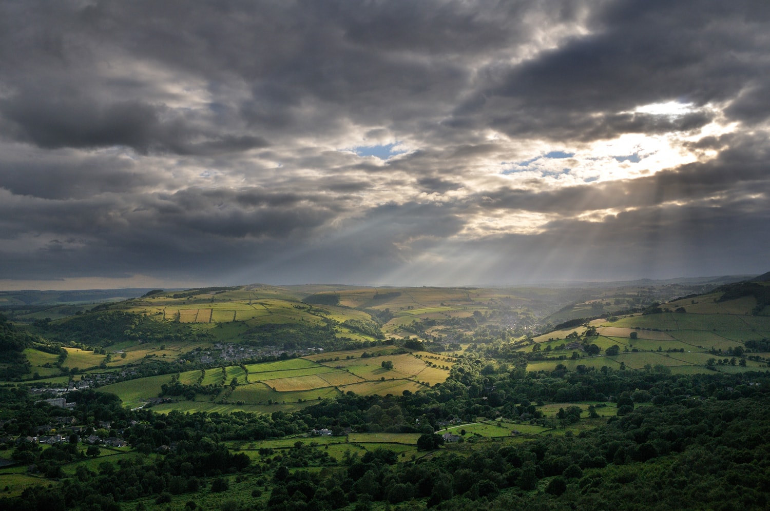
Langsett
Linger at Langsett’s oasis or loop along the woodland water-front promenade.
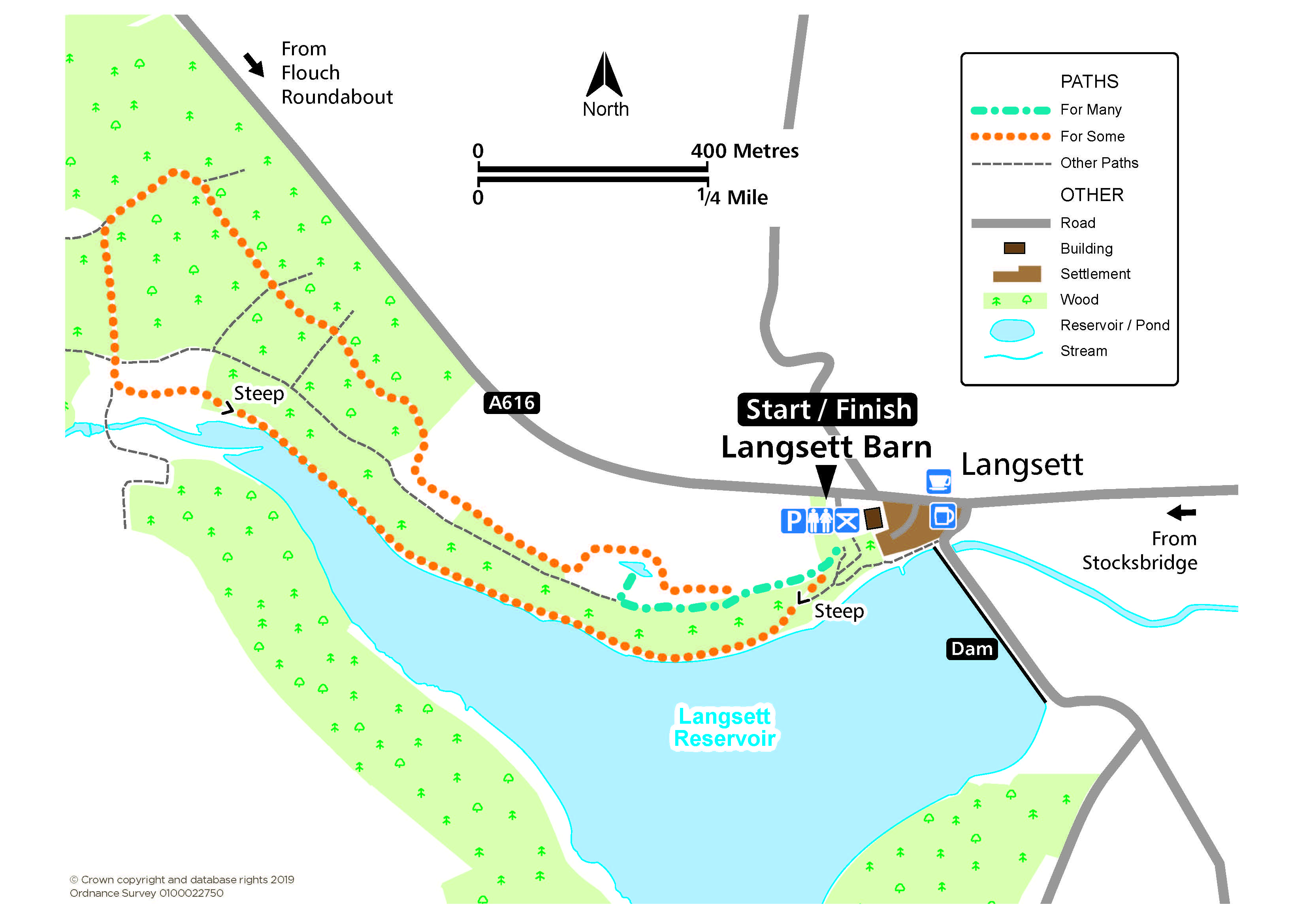
Access for Many and Some
Distance: 480 m to the pond and 3.3km for the loop
Nearest Facilities: Langsett
Directions
Access for Many
- Start from the rear right-hand corner of the car park and follow the field-edge path until a path is met on the left.
- Descend along the woodland path until a turning on the right to a clearing with a pond and seating.
Access for Some
- Start from the rear right-hand corner of the car park and take the lower path.
- Go through the gateposts down a steep slope to the reservoir side.
- Continue along a well-surfaced level woodland path and up a climb to meet a forest track.
- Turn right and follow the track uphill through the woodland before continuing parallel to but at some distance from the main road to meet the field-edge path back to the car park.
Langsett Route Map (391KB) 
Getting there
Start at Langsett Barn Car Park off the A616 west of Stocksbridge.
Ordnance Survey grid reference: SE 2104 0048
Postcode: S36 4GY
Do you know?
- The large double doors of the 17th century Langsett Barn allowed fully-laden horse-drawn carts to gain access.
- The valve tower at the dam replicates the gatehouse of Lancaster Castle.
- The Tour de France cycle race passed through Langsett in 2014.