Digital Heritage Resources
Story Maps
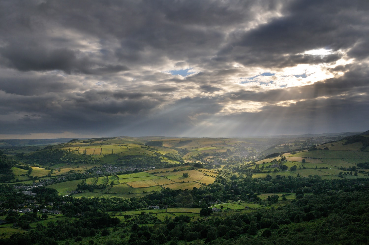
We're developing a series of Story Maps to help you discover the amazing heritage of the Peak District National Park. You can explore these while you are out and about, or from the comfort of an armchair. We’ll add more resources over time, so keep checking back.
- Map 1: Cultural Heritage Highlights
- Map 2: The Lost Industries of Gradbach and Quarnford
- Map 3: You've got Mail!
- Map 4: Elephants on the Roaches!
- Map 5: Warslow's Field Barns and Forgotten Farmsteads
- Map 6: Grindleford Heritage Trail
- Map 7: Cracken Edge
3D models
Explore 3D models of some of the cultural heritage and archaeology of the national park.
Some of the structures featured in the 3D models below have been or will shortly be repaired thanks to funding from the Farming in Protected Landscapes scheme.
A Pyekiln on Alsop Moor
The best example of its kind! This was recorded by PDNPA volunteers and consolidated by Derbyshire Dry Walling Association in April 2023.
Before
After!
Credit: Richard Knisely-Marpole
Crane
Adjacent to the former Cromford & High Peak Railway, which is now the High Peak Trail, is the remains of this crane, which is associated with the quarry which lies behind it. The crane is slowly deteriorating and is in need of conservation work
Credit: Richard Knisely-Marpole,
Brick Kiln
Adjacent to the former Cromford & High Peak Railway, which is now the High Peak Trail, is the remains of this brickworks which produced refractory bricks using high quality silica sand obtained from pits which are now the ponds visible down the slope. There were originally two kilns and ancilliary buildings. A branch siding from the CHPR went into the works and a tramway connected the works to the sandpits along the line of the track going downhill. The orange and white markers are each 2 metres long. The base of the “tee” points to the north
Credit: Richard Knisely-Marpole