
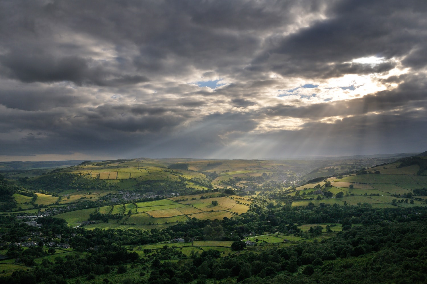
Goyt
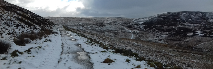
A former railway line providing elevated views across the moors and woodlands of the Goyt Valley.
Access for All
Distance: 1 km to the embankment
Nearest Facilities: Buxton
Directions
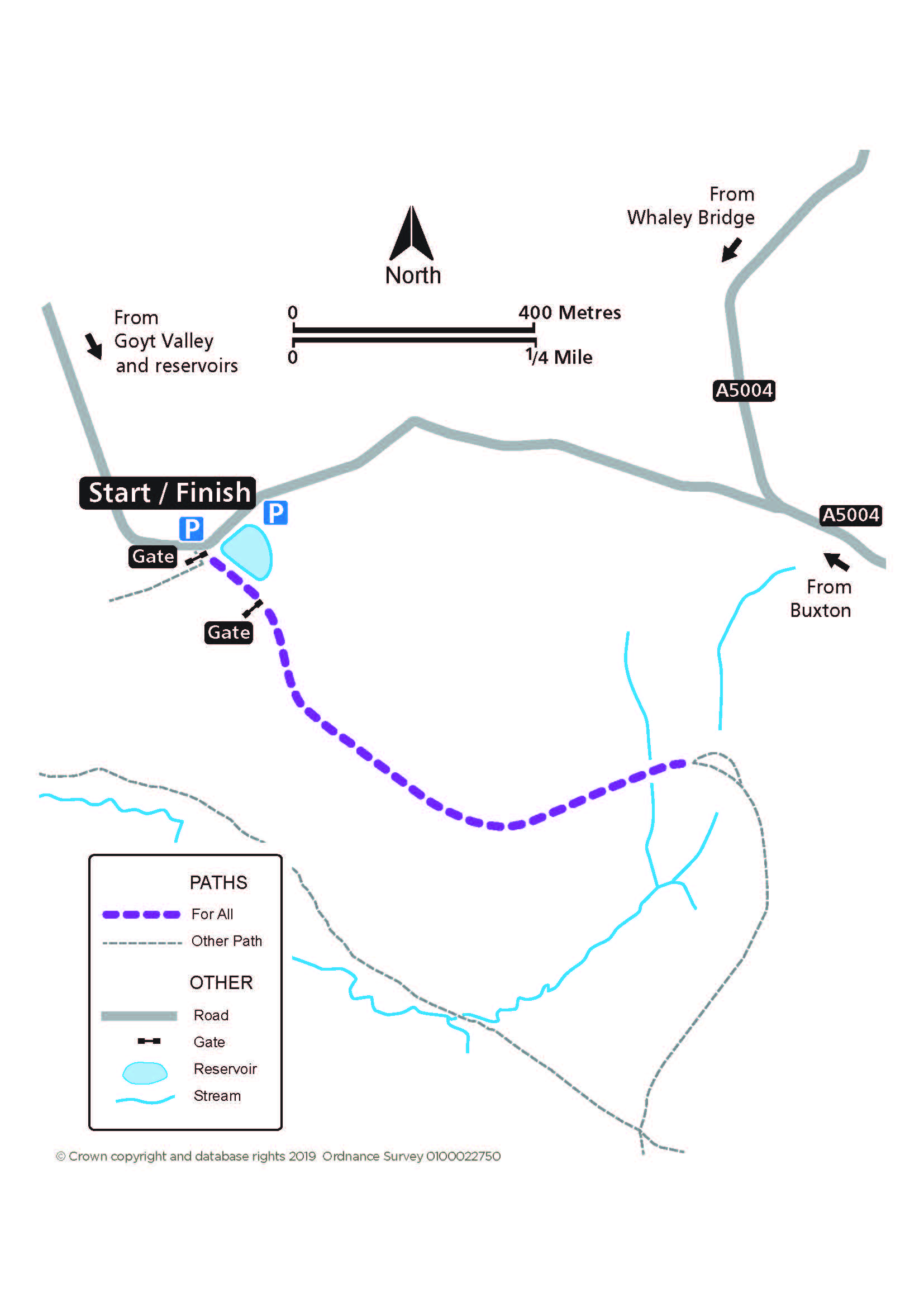
- Pass to the left of the field gate from the car park opposite.
- Continue above the reservoir and along the track to a lone tree and the embankment.
The Goyt Route Map (280KB) 
Getting there
Start at car park at Goyt’s Lane, via the A5004 north-west of Buxton.
Ordnance Survey grid reference: SK 0232 7515
Postcode: SK17 6GJ
Do you know?
- The former Cromford and High Peak Railway linked the Cromford and the Peak Forest canals.
- The reservoir provided water for the stationary steam engine, which hauled trains up the incline, and was also used as an ice rink in Victorian times.
- The bubbling call of the curlew may be heard across the moors.