Article 4 Direction documentation
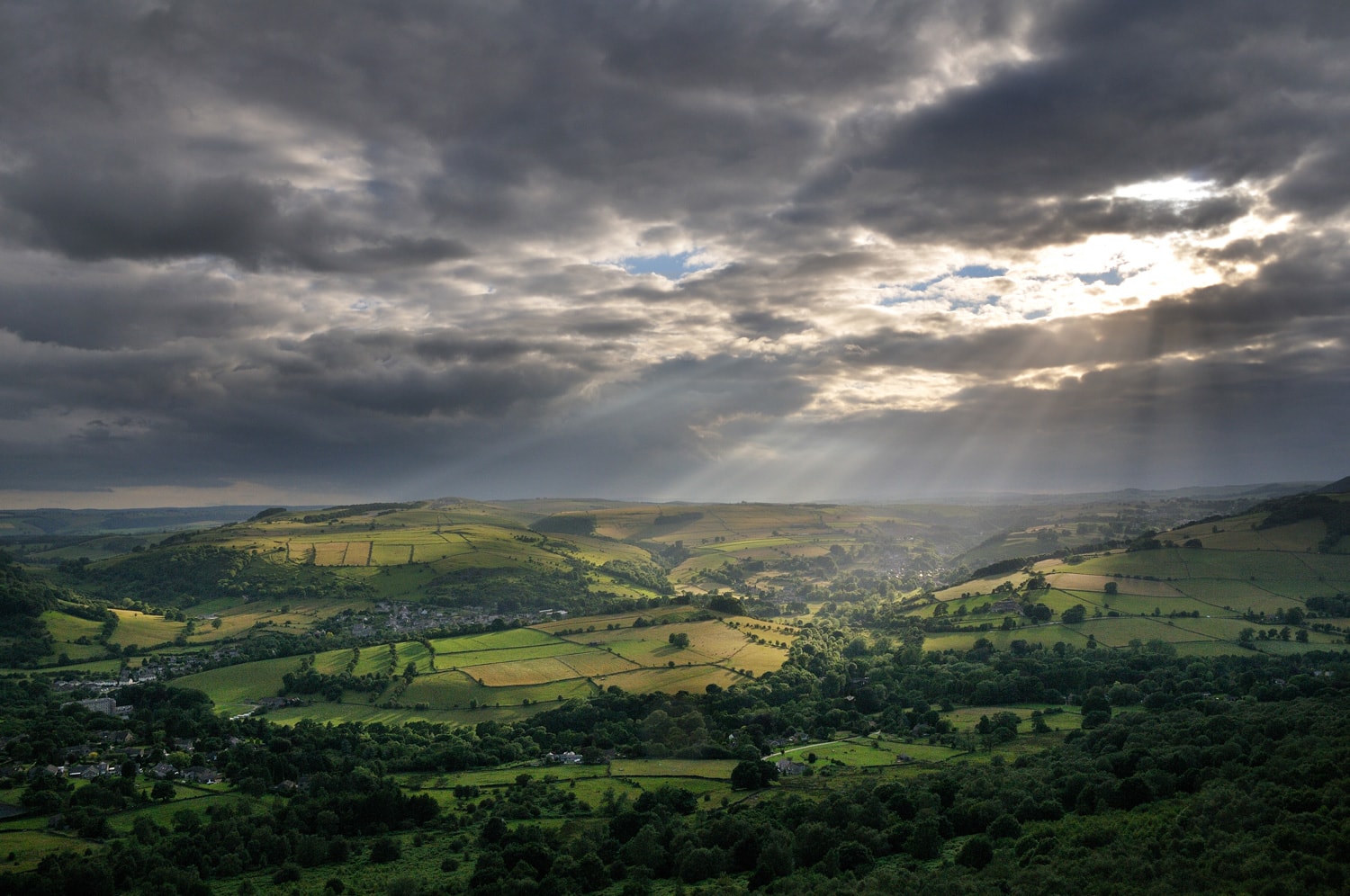
An Article 4 Direction removes or restricts national Permitted Development Rights within a specific site or area. This can range from an individual part of a settlement to the local planning authority’s whole area and there are examples of both in the Peak District National Park.
National Permitted Development Rights are described in The Town and Country Planning (General Permitted Development) (England) Order 2015 (as amended) and local planning authorities can remove or restrict them to ensure there is planning control over something that would not normally required permission. It is important to emphasise that the Article 4 Direction goes not prevent development from happening, it simply means planning permission is required.
The removed/restricted Permitted Development Rights are detailed in a Schedule, as part of a Notice, which then becomes enforceable once confirmed by the local planning authority after a period of consultation. A planning application has to be submitted for a site in the area when development includes removed or restricted permitted development rights.
Further details on the national Permitted Development Rights that apply within the Peak District National Park are available at Permitted development rights – Peak District National Park Authority.
The Peak District National Park Authority is improving our planning digital data through the MHCLG Digital Planning Improvement fund: Round 4. Article 4 datasets were enhanced as part of the award funding. These are available from this webpage, and can be explored in the map of planning data for England: Map of planning data for England | Planning Data.
Licence
This dataset has been published by Peak District National Park Authority under the Open Government Licence Open Government Licence (nationalarchives.gov.uk). This licence has been applied following the Public Sector Geospatial Agreement ‘presumption to publish’ process.
Datasets
Two datasets are available:
Article 4 Data: A spatial dataset with polygons for each area
PDNPA Article 4 documents dataset (geojson)
Article 4 Area document: A list of the sources for each Article 4 area
Article 4 Direction
Name: Land at Bank House Farm, Hulme End
Organisation: Peak District National Park Authority
Reference: A4D10
Name: 1-4 High Street, Longnor
Organisation: Peak District National Park Authority
Reference: A4D12
Name: Land at Bank House Farm, Hulme End
Organisation: Peak District National Park Authority
Reference: A4D23
Name: The Old Rectory, Thorpe
Organisation: Peak District National Park Authority
Reference: A4D19
Name: Land at Summerhill, Upper Hulme
Organisation: Peak District National Park Authority
Reference: A4D25
Name: Land South of Yeld Wood, Baslow
Organisation: Peak District National Park Authority
Reference: A4D6
Name: Land at Ladywash Farm, Eyam
Organisation: Peak District National Park Authority
Reference: A4D8
Name: Ryecroft Farm, Thornhill
Organisation: Peak District National Park Authority
Reference: A4D18
Name: OS 2200 and 3600 at West Nab, Wortley
Organisation: Peak District National Park Authority
Reference: A4D15
Name: Land lying to south side of Monyash Road, Bakewell
Organisation: Peak District National Park Authority
Reference: A4D5
Name: Wye Cottage, Church Street, Ashford - in -the - water
Organisation: Peak District National Park Authority
Reference: A4D2
Name: Rocks Bar Farm, Upper Hulme
Organisation: Peak District National Park Authority
Reference: A4D20
Name: Burton Moor, Bakewell
Organisation: Peak District National Park Authority
Reference: A4D14
Name: Land at Summerhill, Upper Hulme
Organisation: Peak District National Park Authority
Reference: A4D24
Name: Emerald Farm, Macclesfield Forest
Organisation: Peak District National Park Authority
Reference: A4D13
Name: Wraggs Quarry, Beeley
Organisation: Peak District National Park Authority
Reference: A4D7
Name: Land at Clough Lane, Little Hayfield
Organisation: Peak District National Park Authority
Reference: A4D11
Name: Lees Cross Quarry, Stanton Lees
Organisation: Peak District National Park Authority
Reference: A4D16
Name: Heathylee Cottage, Wickenlow Lane, Quarnford
Organisation: Peak District National Park Authority
Reference: A4D9
Name: Land adjoining Rutland Works, Bakewell
Organisation: Peak District National Park Authority
Reference: A4D3
Name: Hawkslee Farm, Wincle
Organisation: Peak District National Park Authority
Reference: A4D22
Name: Land at Burnt Heath, Stoney Middleton
Organisation: Peak District National Park Authority
Reference: A4D17
Name: OS Parcel 6500 at Monyash Road, Over Haddon
Organisation: Peak District National Park Authority
Reference: A4D4
Name: Land at Lode Lane, Alstonefield
Organisation: Peak District National Park Authority
Reference: A4D1
Name: West of Red Lion Inn, Wensley
Organisation: Peak District National Park Authority
Reference: A4D21
Name: Middle Hay, Wardlow
Organisation: Peak District National Park Authority
Reference: A4D27
Name: Land at Brook Villa, Manchester Road, Tideswell
Organisation: Peak District National Park Authority
Reference: A4D26