_brownfield sites list (html)
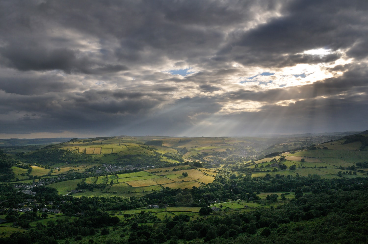
Brownfield Sites
The Peak District National Park Authority identifies suitable brownfield land for housing to contribute towards the government’s commitment to building 90% of all new housing on brownfield land.
Licencing
[Probably link to a shared licence information page for all the MHCLG datasets pages.]
Machine readable formats
Name: NP/BLR/S/001
ObjectID: 3
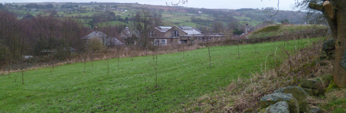
Site name address: Former Treatment Works at Mill Leed Road, Low Bradfield
Deliverable: Yes
Hazardous Substances:
Hectares: 0.7
Min Net Dwellings: 21
Dwellings From: 21
Dwellings To: 21
Ownership Status: not owned by a public authority
Permission Date:
Permission Type: full planning permission
Planning History: https://pam.peakdistrict.gov.uk/?r=NP/S/0914/1007
PlanningStatus: permissioned
SiteplanURL: https://www.peakdistrict.gov.uk/planning/brownfield-land-register
GeoX:
GeoY:
Coordination System:
Notes:
Organisation Label : Peak District National Park
Organisation URI: http://statistics.data.gov.uk/doc/statistical-geography/E26000006
Last update date: 1583625600000
First updated date:
End date:
Name: NP/BLR/S/002
ObjectID: 11
Site name address: Former Water Treatment Plant at Redmires Plantation
Deliverable: Yes
Hazardous Substances:
Hectares: 0.2
Min Net Dwellings: 1
Dwellings From: 1
Dwellings To: 1
Ownership Status: not owned by a public authority
Permission Date:
Permission Type: *not applicable
Planning History:
PlanningStatus: not permissioned
SiteplanURL: https://www.peakdistrict.gov.uk/planning/brownfield-land-register
GeoX:
GeoY:
Coordination System:
Notes:
Organisation Label : Peak District National Park
Organisation URI: http://statistics.data.gov.uk/doc/statistical-geography/E26000006
Last update date: 1522281600000
First updated date:
End date: