Damflask Family Walk

Part of our series of Family Walks Guides available across the Peak District. Printed copies are available in our Visitor Centres.
Damflask Loop
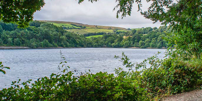
A gentle walk in the Loxley Valley around this beautiful reservoir
Start from here
The Sands car park, Low Bradfield Also served by 61 bus (connects with Hillsborough Interchange and Malin Bridge Park and Ride)
Directions to come here
Driving directions
Postcode: S6 6LB
Grid reference: SK 262 920
What3Words: shadow.hobby.unity
Nearby facilities
Your walk details
Distance: 3.5 miles/ 5.5km
Duration: 2 hours
Buggy Friendly? Yes
Dog Friendly? Yes
Parking: Free parking in Low Bradfield
Extra information Car parking and toilets available in Low Bradfield A mixture of surfaced lanes and good, level tracks,suitable for all
Routemap and directions
Download Damflask Family Walk routemap leaflet (820.3 KB)
From the car park, cross the footbridge towards the cricket ground. Once over thebridge keep heading to the left and go through a gap in the wall ahead to reach a lane.
Public toilets are situated to the left here, but to continue the walk, turn right on the lane.Pass the village post office, where refreshments are available, and continue past the cricket pitch to a road junction by the Smithy Garage.
In 1864, Dale Dike dam, above Low Bradfield, collapsed. Water rushed through the village and on to Sheffield, destroying many houses. The event was named ‘The Great Sheffield Flood’
Turn left in front of the Smithy Garage to walk along the quiet lane, Lamb Hill. Continue ashort distance to reach a lane on your right.
A. As you head out of Low Bradfield, look closely after passing the Smithy Garage. Can you spot the remains of the village millpond on your right? What do you think it was used for? Is there any wildlife using it now?
Turn right on the lane to cross a bridge.Immediately afterwards, turn left on the footpath, which leads along thesouth side of Damflask Reservoir.
Near the end of the reservoir, the footpath takes you through an opening in the fence. Turn left here and follow the road around to the dam wall.
B. Damflask reservoir is a great place to spot birds. Here are some that you might be able to see: mallard, mute swan, Canada goose, blue tit, greattit, blackbird, kestrel.
Once across the dam, turn left onto Loxley Road for a short distance, before goingthrough a gap in the wall on your left and onto a footpath.
Follow the footpath along the north side of the reservoir, past the sailing and rowingclub. Continue on the path until it eventually meets the Lamb Hill Road.
Turn left on the road and follow it back to the village of Low Bradfield.
Turn right at the Smithy Garage, cross the road, and return over the playing fields to the car park.
Damflask reservoir was completed in 1896. It is 27 metres deep at the deepest point and it can hold 4,250.9 million litres of water, that is over 42,000 household baths!


