
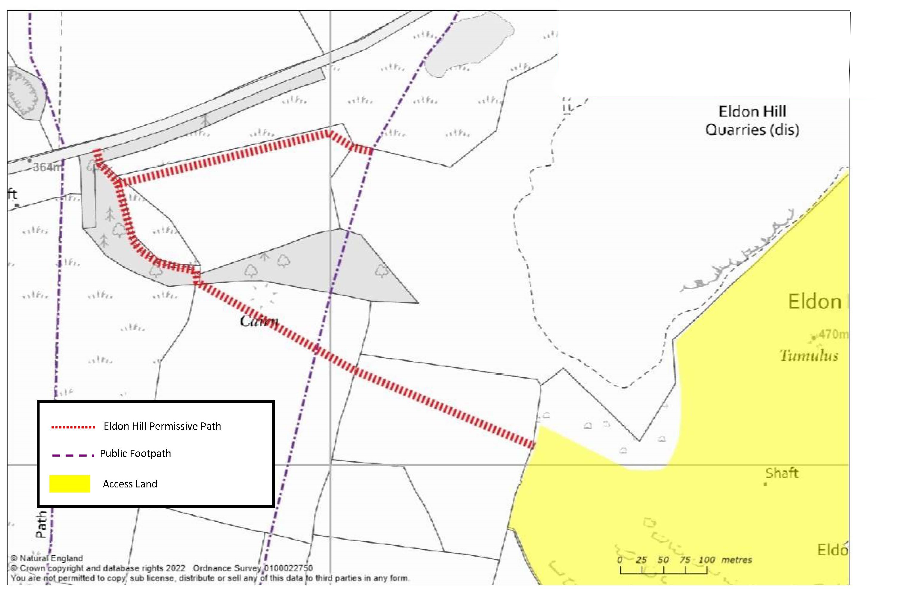
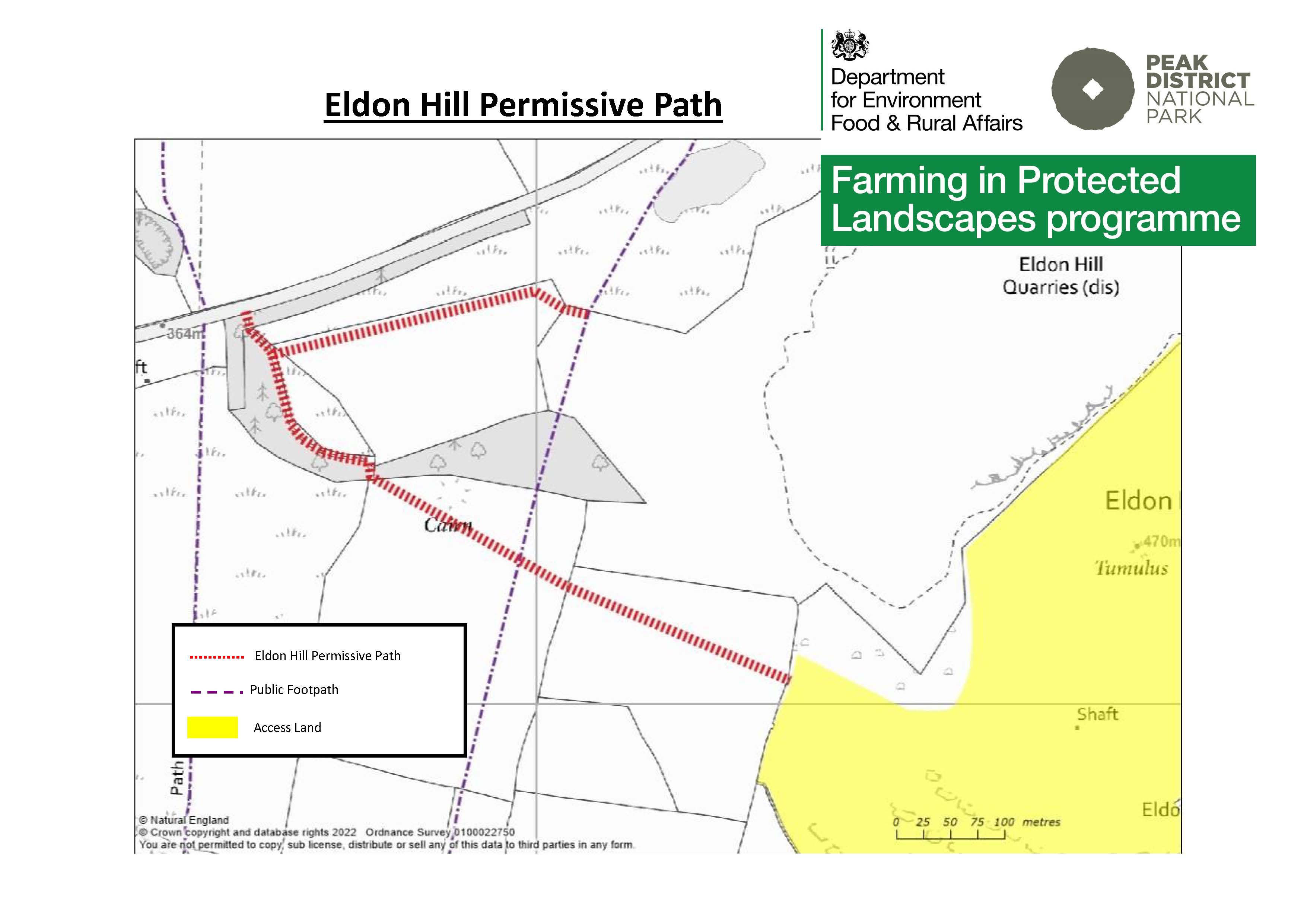
Eldon Hill
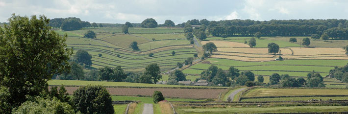
 Link paths across the northern boundary of the limestone of the White Peak. Views of Mam Tor.
Permissive path – access on foot. Defra funded until March 2024.
Distance 1 km of new access
Accessibility 6 pedestrian gates. Track and hillside.
Nearest Facilities Sparrowpit
Eldon Hill permissive path route map
Directions
- Turn right at the pond to follow a path above the road
- Turn left at the track and follow it to a gate in the wall
- Head leftwards to drop down to the dale and then up the hillside.
Getting there
Start Point via the A623 to Sparrowpit
Parking Roadside
Ordnance Survey grid reference: SK 1116 8155
Postcode: SK17 8ES
What3Words: ///backtrack.logs.removable
Do you know?
- Eldon Hill is the highest limestone hill in the area.
- Its old English name is Elveden or hill of elves because of the underground caves.
- Quarrying for aggregate for roads and buildings took a chunk out of Eldon and created the new hill at the roadside.