
Taddington Moor
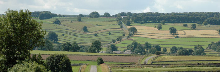
 A lead mine landscape with extensive views. Look out for cowslips, mountain pansies, and skylarks. Links to the Limestone Way. Cattle may be present late Summer/Autumn.
Permissive path - access on foot. Defra funded until March 2024
Distance: 0.9 km of new access
Accessibility: 2 pedestrian gates. Steep uneven grassland path
Nearest Facilities: Taddington
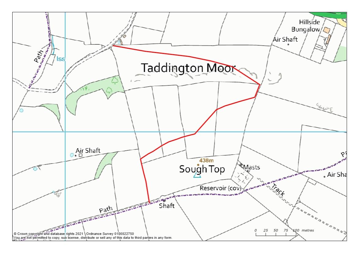
Taddington Moor permissive path route map (1.3MB)
Directions
- From the A6, head southwards along the Limestone Way for 200 m
- After the farm buildings, take the gate on your left and wind your way up the incline
- Follow the wall upwards to the signpost
- Keep to the waymarked route through fields to join the public footpath just after Sough Top
- Turn right to head back to the Limestone Way or left to Taddington.
Getting there
Start Point: Via the A5 Buxton to Bakewell
Parking: Roadside
Ordnance Survey grid reference: SK 1312 7122
Postcode: SK17 9TJ
What3Words: ///pirate.generally.goose
Do you know?
- Skylarks sing in exaltation as they ascend and are silent on the way down
- Yellow mountain pansies aren’t found any further south than the Peak District
- A sough is a channel for mine water and is pronounced suff.