
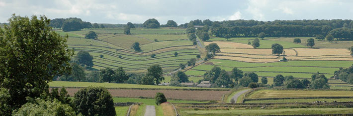
Hay Dale
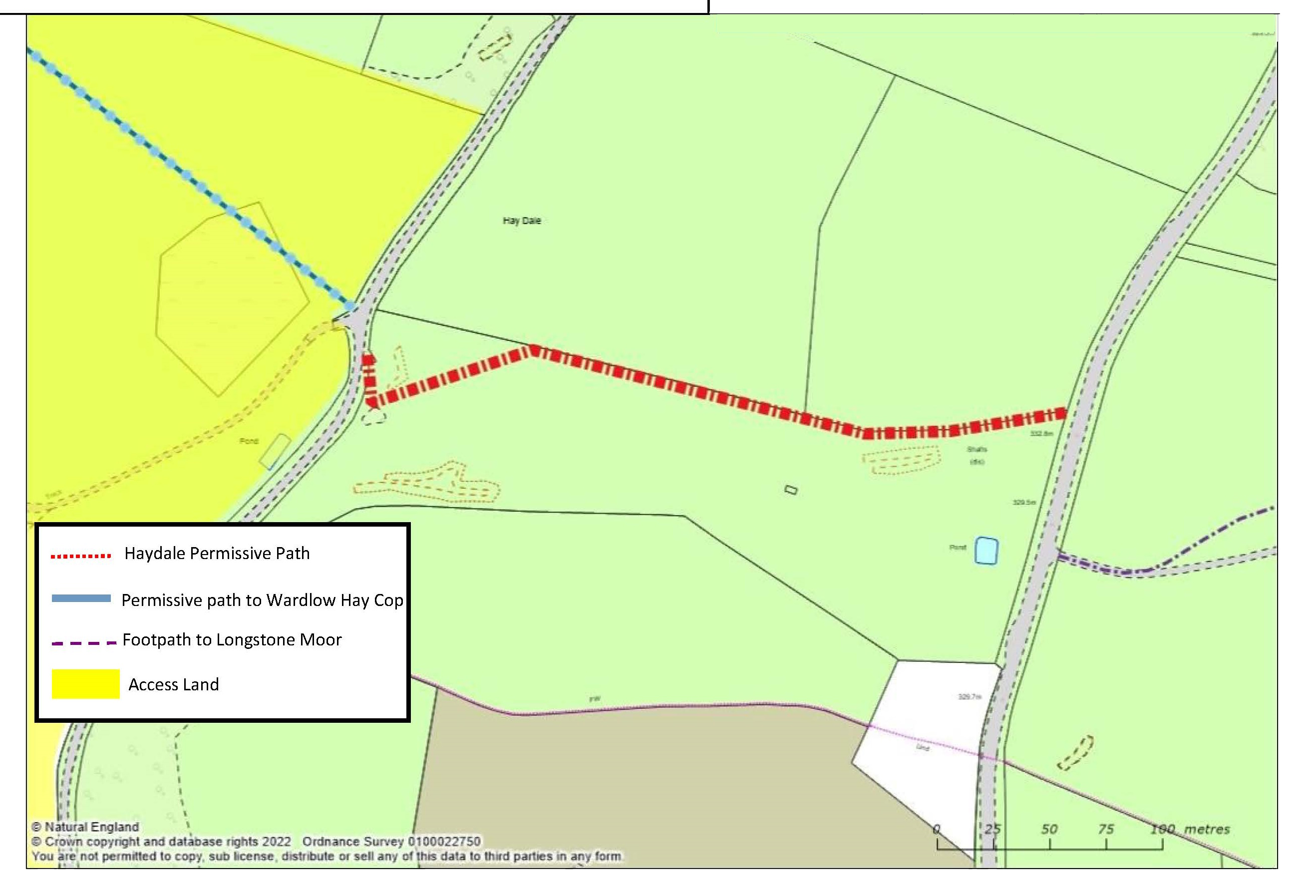 Access on foot through lead mining hillocks and hollows to link the heights of Longstone Moor and Wardlow Hey Cop.
Permissive path – access on foot. Defra funded until March 2024.
Distance 0.3 km of new access.
Accessibility 2 pedestrian gates. Steep hillside.
Nearest Facilities Monsal Head
Hay Dale permissive path route map
Directions
- Double back along the track from the roadside gate
- Follow the wall upwards to the signpost
Getting there
Start Point via Castlegate Lane B6465 and Hay Dale
Parking Roadside
Ordnance Survey grid reference: SK 1802 7329
Postcode: SK17 8SZ
What3Words: ///submerge.topping.sprinkle
Do you know?
- The song of meadow pipits is made in their parachute descent.
- Birds foot trefoil's bright yellow flowers streaked with pink are known locally as eggs and bacon.
- The hillocks are formed of gangue minerals left behind from mining the lead ore.